 ORTHOS AG
Multispectral crop scouting, stockpile volumetrics, and turf health monitoring — RTK-accurate, processed fast, built for growers and operators across the Sacramento Valley.
What are you looking to fly?
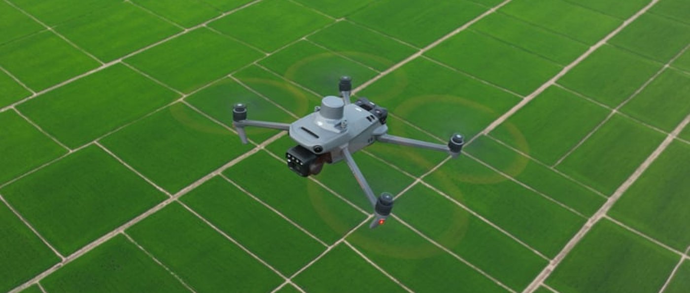
Drag either slider — this is the kind of change that's invisible from the ground but obvious from the data.
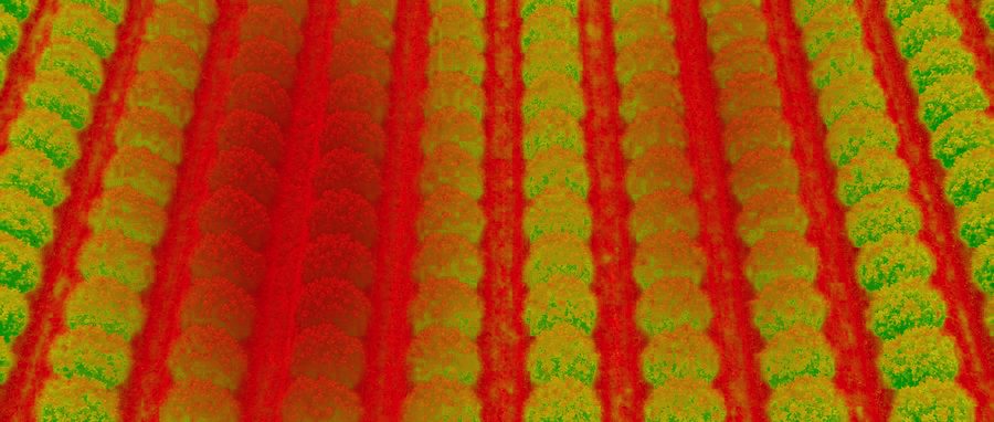
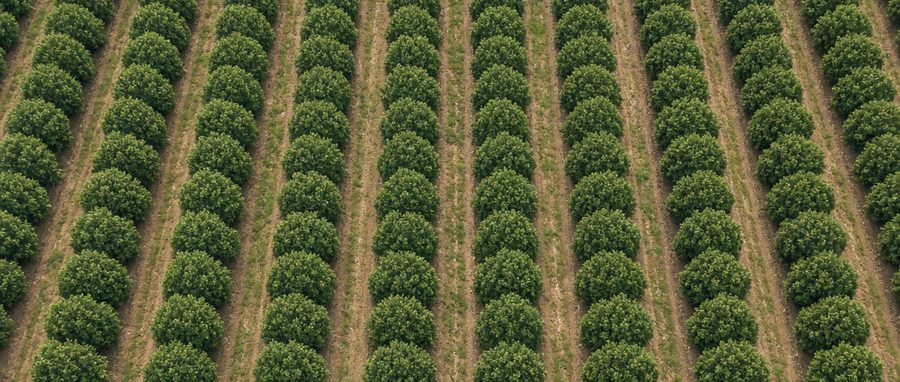
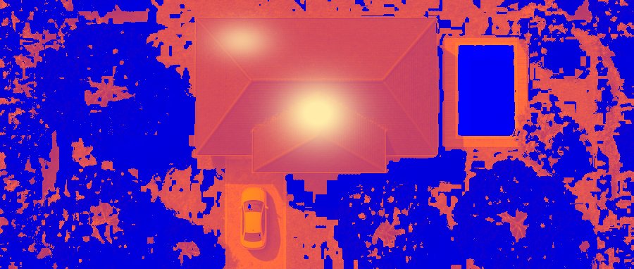
Different buyers, same core capability — RTK-accurate aerial data, delivered fast.
Almond, walnut, and rice operations wanting to catch stress before it costs yield — without walking every row yourself.
Accurate stockpile volumes on your schedule, without pulling a crew off other work to measure piles by hand.
Irrigation uniformity and turf stress data, flown before your first tee time so play is never disrupted.
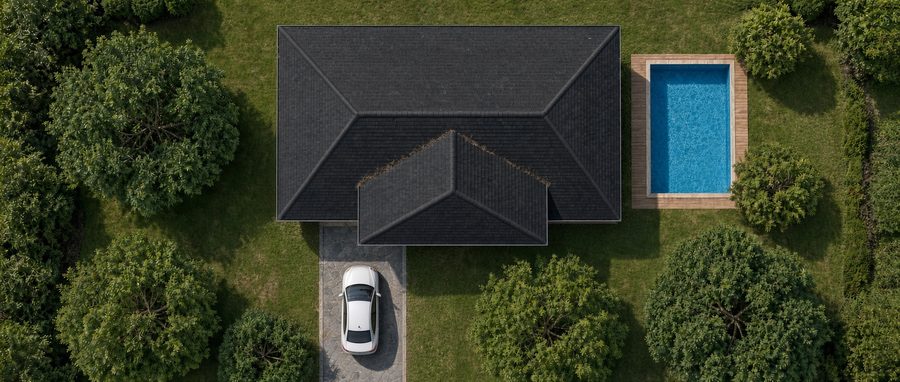
Thermal roof and panel inspections that find moisture and hot spots before they become a bigger claim or callback.
Don't see yourself here? The full service list below covers more ground.
Same aircraft class, applied to whatever's growing, piling up, losing heat, or needing to be measured on your property. Full list of what we cover further down.
RTK-accurate orthomosaic and topographic surveys for property documentation, land review, and site progress.
Multispectral NDVI mapping for almonds, walnuts, and rice — catch stress before it's visible from the ground.
RTK photogrammetry surveys for aggregate yards and quarries — accurate inventory without a ground crew.
Roof moisture and solar panel hot-spot detection — thermal imaging finds what's invisible to a regular camera.
From the field: Stockpile volumetric survey accuracy · What NDVI shows that a photo can't · Thermal imaging on a leaking roof · Orthomosaic mapping vs. satellite imagery
By city: Chico · Redding · Sacramento · Yuba City
RTK-guided flight timed for light and, where it matters, before anyone's on the ground.
Imagery stitched into an orthomosaic and health index, usually the same night.
Flagged zones and season-over-season comparison, in plain language.
A call, or a walk of the flagged blocks together, if you want one.
From Redding down to the greater Sacramento area — nine counties along the I-5 and Highway 99 corridor.
Just outside this list? Reach out anyway — most nearby jobs are still workable. Full detail on the service area page.
The agriculture drone market is projected to grow from roughly $2.6B in 2025 to $10.8B by 2030. Orthos flies DJI Enterprise-grade multispectral and RTK equipment — the same manufacturing tier that supplies the largest names in the space.
Rough starting ranges below — every quote is confirmed against your actual acreage and flight frequency before we book anything.
| Property size | Per flight | 4-flight season package |
|---|---|---|
| 100 acres | $500 | $2,000 |
| 150 acres | $750 | $3,000 |
| 250 acres | $1,250 | $5,000 |
| 500 acres | $2,500 | $10,000 |
Rice ground runs a tighter, more frequent flight schedule (6–8 flights during the reproductive phase) — quoted separately based on acreage.
| Visit type | Price |
|---|---|
| Single site survey | $150–400 per visit |
| Recurring monthly (per site) | $800–2,000/month |
Priced by number of stockpiles, site size, and visit frequency — RTK-accurate volumetric report delivered same-day in most cases.
| Job type | Buyer | Rate |
|---|---|---|
| Roof moisture/leak inspection | Property managers, roofers, adjusters | $200–500/roof |
| Solar panel hot-spot inspection | Solar installers, commercial owners | $0.50–1.50/panel or $300–800/site |
| Post-storm/insurance documentation | Adjusters, homeowners | $250–600/job |
Roof and solar work runs year-round, not seasonally gated — often the fastest-turnaround service line since it doesn't depend on a growing season.
Estimate only — final pricing confirmed against your actual property before booking. Rough starting ranges — final rate card pending first-season client pricing.
Rough estimate based on typical scouting pace across open orchard/field terrain — actual time varies with row spacing and terrain.
The three above are the core lineup — here's the complete list for anyone with a more specific need.
Don't see what you need? Ask — some services (utility inspection, wildfire mapping, search and rescue) are on the roadmap but not yet licensed/insured for.
Run by Jack Fischer — six years in solar and roofing, with construction experience before that. Started Orthos after seeing how much decision-making in ag, roofing, and solar still happens on a guess, when the data to actually know is a short flight away. Based in Chico, flying across Butte, Glenn, Sutter, and Colusa counties. Every flight is piloted personally — no dispatch center, no subcontracted crew.
Most flights are scheduled early morning or timed around your operations specifically to avoid this — golf course flights, for example, happen before the first tee time.
Typically within 48 hours of the flight, often the same night for smaller properties.
No — we just need awareness of the flight window and any site-specific access notes ahead of time.
Butte, Glenn, Sutter, and Colusa counties as a baseline — reach out if you're just outside that range, most nearby jobs are still workable.
Both — single flights are available, but most clients get more value from a seasonal package that tracks change over time.
Tell us the property and crop — we'll get back with a per-acre or per-visit quote within a day.